@font-face {font-family:"Cambria Math"; panose-1:2 4 5 3 5 4 6 3 2 4; mso-font-charset:0; mso-generic-font-family:roman; mso-font-pitch:variable; mso-font-signature:3 0 0 0 1 0;}@font-face {font-family:Calibri; panose-1:2 15 5 2 2 2 4 3 2 4; mso-font-charset:0; mso-generic-font-family:swiss; mso-font-pitch:variable; mso-font-signature:-536859905 -1073732485 9 0 511 0;}p.MsoNormal, li.MsoNormal, div.MsoNormal {mso-style-unhide:no; mso-style-qformat:yes; mso-style-parent:""; margin:0cm; mso-pagination:widow-orphan; font-size:12.0pt; font-family:"Calibri",sans-serif; mso-ascii-font-family:Calibri; mso-ascii-theme-font:minor-latin; mso-fareast-font-family:Calibri; mso-fareast-theme-font:minor-latin; mso-hansi-font-family:Calibri; mso-hansi-theme-font:minor-latin; mso-bidi-font-family:"Times New Roman"; mso-bidi-theme-font:minor-bidi; mso-fareast-language:EN-US;}a:link, span.MsoHyperlink {mso-style-noshow:yes; mso-style-priority:99; color:blue; text-decoration:underline; text-underline:single;}a:visited, span.MsoHyperlinkFollowed {mso-style-noshow:yes; mso-style-priority:99; color:#954F72; mso-themecolor:followedhyperlink; text-decoration:underline; text-underline:single;}p {mso-style-noshow:yes; mso-style-priority:99; mso-margin-top-alt:auto; margin-right:0cm; mso-margin-bottom-alt:auto; margin-left:0cm; mso-pagination:widow-orphan; font-size:12.0pt; font-family:"Times New Roman",serif; mso-fareast-font-family:"Times New Roman";}.MsoChpDefault {mso-style-type:export-only; mso-default-props:yes; font-family:"Calibri",sans-serif; mso-ascii-font-family:Calibri; mso-ascii-theme-font:minor-latin; mso-fareast-font-family:Calibri; mso-fareast-theme-font:minor-latin; mso-hansi-font-family:Calibri; mso-hansi-theme-font:minor-latin; mso-bidi-font-family:"Times New Roman"; mso-bidi-theme-font:minor-bidi; mso-fareast-language:EN-US;}div.WordSection1 {page:WordSection1;}ol {margin-bottom:0cm;}ul {margin-bottHyperspectral remote sensing and multispectral remote sensing are both useful tools in the field of remote sensing, but each has its own unique benefits and limitations.
Multispectral remote sensing uses a limited number of broad spectral bands to capture information about the earth's surface. While multispectral remote sensing is useful for detecting broad changes in the earth's surface, it does not provide the level of detail and specificity that hyperspectral remote sensing does.
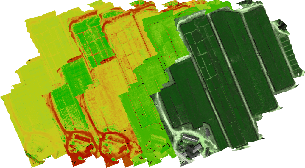
Hyperspectral remote sensing, on the other hand, uses a much larger number of narrow spectral bands to capture information about the earth's surface. This allows for a much more detailed analysis of the earth's surface, including the identification of specific materials and substances. This is particularly useful in agriculture, where growers and farmers can use hyperspectral remote sensing to gather detailed information about crop health and productivity.
Studies have shown that hyperspectral remote sensing is a valuable tool for remote sensing in agriculture. For example, a study published in the journal Remote Sensing found that hyperspectral remote sensing can provide valuable information about crop health and productivity, allowing growers to make more informed decisions about crop management. Another study published in the Journal of Applied Remote Sensing found that hyperspectral remote sensing can lead to significant cost savings for growers, as it allows for the optimization of inputs such as fertilizers, leading to improved crop yields and reduced costs.
In conclusion, while both hyperspectral remote sensing and multispectral remote sensing have their own unique benefits and limitations, hyperspectral remote sensing provides a much more detailed and specific analysis of the earth's surface. This can be particularly useful in agriculture, where growers and farmers can use hyperspectral remote sensing to gather valuable information about crop health and productivity, leading to improved crop management and increased yields.
References:
1. Li, X., Li, H., Zhang, H., & Li, Y. (2017). Hyperspectral remote sensing for vegetation monitoring. Remote Sensing, 9(12), 1217.
2. Jiang, L., Qin, Q., & Chen, J. (2015). A review of hyperspectral remote sensing applications in agriculture. Journal of Applied Remote Sensing, 9(1), 093549.


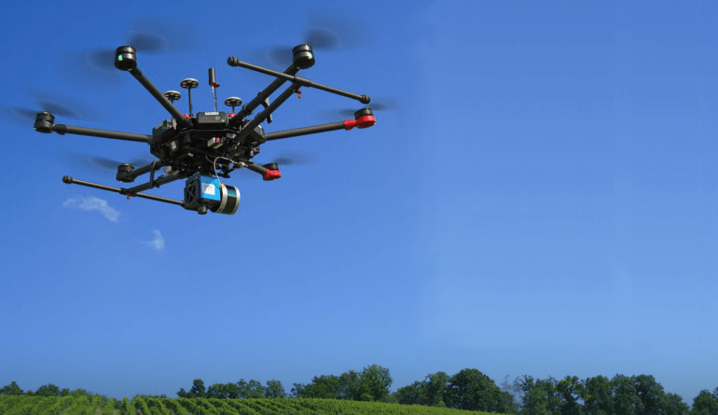
More information on our Turnkey Hyperspectral UAV's
Next generation remote sensing solutions from Automate and Control LTD

