Perfect Fusion of Hyperspectral Imagery, LiDAR and Precision GPS
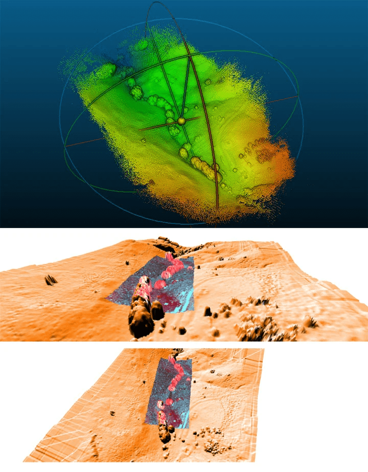
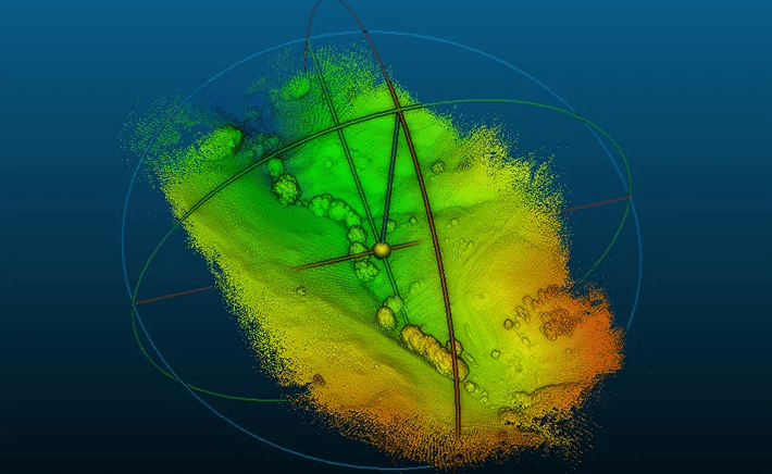
Precision agriculture (PA) is a farming management concept based on observing, measuring and responding to inter and intra-field variability in crops. LiDAR’s 3-D scanning allows you to see the shape and volume of your field and precisely measure its dimensions . The idea behind using LiDAR is to tie multi-year crop growth stability/characteristics to topological terrain attributes as well as monitor seasonal changes over time. The interest in the phytogeomorphological approach stems from the fact that the geomorphology component typically dictates the hydrology of the farm field.
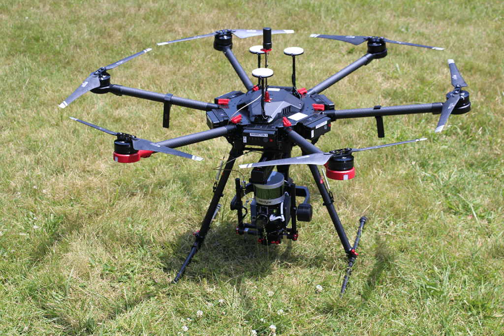
Hyperspectral Imagers, LiDAR and GPS are fused to collect data. Precision agriculture is enabled by the advent of GPS and GNSS. The farmer’s and/or researcher’s ability to locate their precise position in a field allows for the creation of maps of the spatial variability of as many variables as can be measured (e.g. crop yield, terrain features/topography, organic matter content, moisture levels, nitrogen levels, pH, EC, Mg, K, and others). Similar data is collected by sensor arrays mounted on drones. These arrays consist of real-time sensors that measure everything from chlorophyll levels to plant water status along with hyperspectral imagery. This data is used in conjunction with satellite imagery by variable rate technology including seeders, sprayers etc. to optimally distribute resources. However, this technology can be used directly in soil with wireless transmission of data without the need for human presence.
Precision agriculture using drones can be used to capture images of a field to create orthophotos. These hyperspectral images contain multiple values per pixel in addition to the traditional red, green blue values (such as near-infrared and red-edge spectrum values) used to process and analyze vegetative indexes such as NDVI maps. The drones are capable of capturing imagery and providing additional geographical references (such as elevation) which allows the software to perform map algebra functions to build precise topography maps, which can be used to correlate crop health with topography. These topographic maps can be used to optimize crop inputs such as water, fertilizer or chemicals.


